Trail description
Currently TrailBK consists of five trails: TBK Jedna, TBK Dva, TBK Tri, Slalomka, and Baník. Each of these trails offers a different level of difficulty, while most obstacles are bypassable or can be tackled at a lower speed, depending on the technical skill of the rider. A prerequisite is at least some experience with mountain bike riding. The trails are marked with a yellow C sign, while in maps and info-boards we mark the trails following the IMBA system, based on their difficulty.
Please do not overestimate your capabilities and use the necessary safety gear, like helmet, pads, and so on.


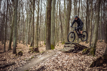
Trail TBK Jedna is initial, and the highest elevated part of the TrailBK. It starts under Biely Kríž. This part leads throught undemanding terrain with one light climb and is therefore also suitable for beginners and as a warm-up trail. It has a "pumtrack" character and "flow", allowing higher speed with good technique. It ends with an asphalt road crossing, followed by climb to the other parts of the trail.
Difficulty / Marking based on IMBA Classification:lEasy
Character: Flowtrail, with flared curves, ripples, smaller jumps
with a smooth pass at a lower speed
Overall length: 0,8 km Altitude change: -50 m

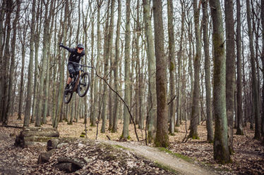
The second part of the trail starts at the top of Piesky (447m). It is a fast, medium-difficulty trail that is almost exclusively downhill. Trail consist of smaller and bigger jumps and gap-jumps, which can be bypassed if needed, and a lot of berms. This part ends above the parking lot on Rybničná street in Rača.
Difficulty / Marking based on IMBA Classification:nMedium
Character: Fast trail, contains berms, ripples, smaller and larger jumps and gaps
Overall length: 1,3 km Altitude change: -210 m

This is the second branch of the trail leading from the top of Piesky (447m). It is distinguished by its variety of terrain and obstacles. Trail is divided to a medium and difficult portion. It examines both the rider's fitness and technical skills. Here we have natural rock gardens but also wooden bridges, drops and various jumps and switchbacks. TBK Tri ends at the old stone quarry in the Vajnorská Valley, from where it is possible to move to the Jurava cycling trail or use the access road back to trails.
Difficulty / Marking based on IMBA Classification: nMedium /uDifficult
Character: Trail of varying character, hilly sections, inclined bends, ripples, smaller
jumps and larger jumps, gaps, drops, wooden bridges and switchbacks
Overall length: 2,3 km Altitude change: -250 m

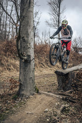
Access to trail Slalomka is located after the uphill section coming off the Červený kríž location. The character of this trail is mainly downhill with few short uphill sections. Slope of the trail is moderate with medium difficulty. The more demanding features and jumps can be found as well, and these features can be bypassed or tackled in lower speeds. Last part of the trail is built as a traverse that is narrow and with a higher difficulty. The trail has an alternative last section that represents the old freeride/downhill trail Slalomka. This section of the trail is steep and more demanding.
Difficulty / Marking based on IMBA Classification:n Medium /uDifficult
Trail with different character consisting of uphill sections, berms, waves,
smaller and bigger jumps
Overall length: 1,8 km Altitude change: -130 m

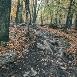
The Banik trail begins on the top of the Veľká Baňa (444 m) hill. The trail can be accessed using the access road from the Červený kríž. The start of the uphill access road is located behind the wooden structure at the back of the meadow. Character of this trail is natural and demanding of the riders technique, with minimum of berms and jumps, but with some rocky and off camber sections. Several times the end of the trail crosses a small creek, where the path it‘s quite fast and narrow.
Difficulty / Marking based on IMBA Classification:uDifficult
Natural and technical “mtb enduro” trail with short rocky sections
as well as wooden bridges and off-cambers.
Overall length: 1 km Altitude change: -175 m


